Land Survey Services
Precision You Can Trust, Results You Can Build On
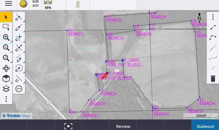
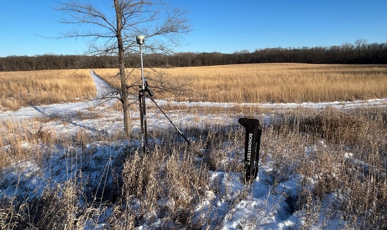
Boundary Surveys
US Public Land Survey System
(Sectionalized) Land Surveys
Farm Surveys
Lot Surveys
ALTA Surveys
Subdivision Platting Services
Subdivision Layout
Construction Layout/Staking Services
Establishment of Horizontal and Vertical Control Networks
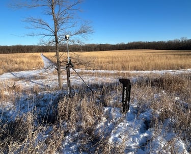
Topographic Surveys
Emergency Survey Support
Drainage Surveys
As-Built Surveys
Volume Surveys
Right-of-Way & Easement Services
Bridge Existing Conditions and As-Built Surveys
Utility Transmission and Distribution Surveys
Electric/Gas Substation Surveys
Pipe Line Engineering Surveys & Staking Services
Utility Asset Inventories
Municipal Review (Plat Reviews, Lot Splits, etc.)
Additional Survey Services with
Partnering Data Aquisition Firms
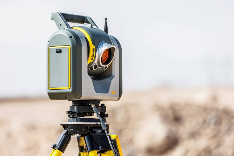
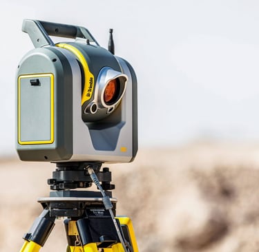
Static Scanning and Mobile Platform LiDAR Scanning
Mobile LiDAR Data Acquisition
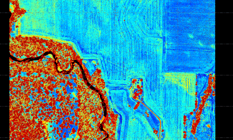
Aerial LiDAR
Aerial Photogrammetry
UAS / Drone LiDAR/Photogrammetry
Hydrographic Surveys
Experience the Difference
Experience the difference Bosshart Land Survey provides. Get in touch with our team to discuss your project.
Contact Us
Email Inquiries: info@bosshartls.com
Copyright © 2025 Bosshart Land Survey, Inc. All rights reserved.